
iFlyer Powerline is a automatic image analysis platform developed for electric transmission line patrol inspection based on image dense point cloud matching and photogrammetry technology, which supports both visible light and LiDAR data sources from multi-rotor and fixed-wing UAVs. It enables various analyses such as sag modeling, point cloud classification, crossover analysis, tree barrier safe distance analysis, and tree barrier hazard analysis. It also rapdily locates obstacles, identify the obtacle types and generate detailed analysis reports. It is integrated with operation and maintenance standard from both the China Southern Power Grid and the State Grid Corporation of China.


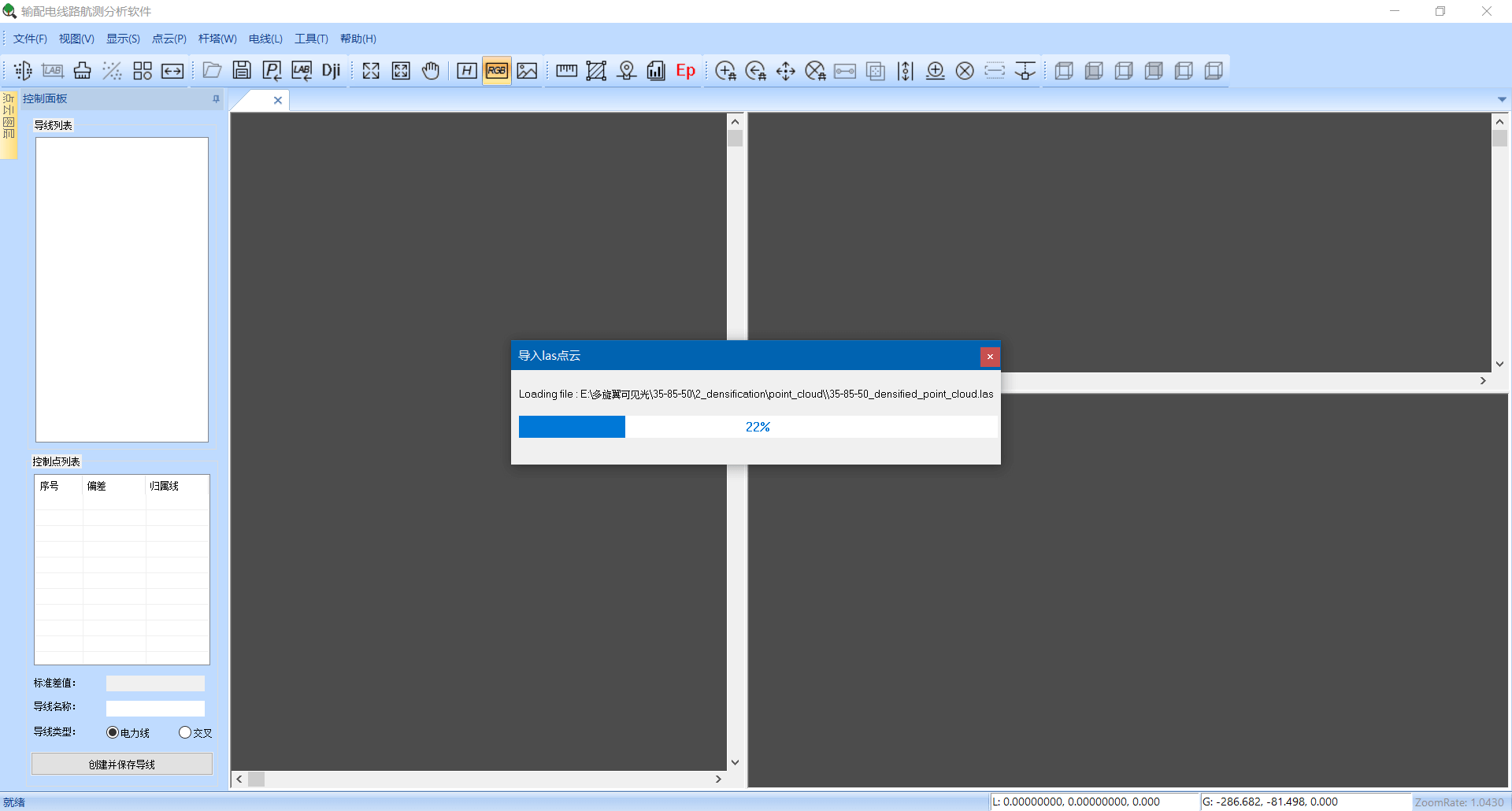
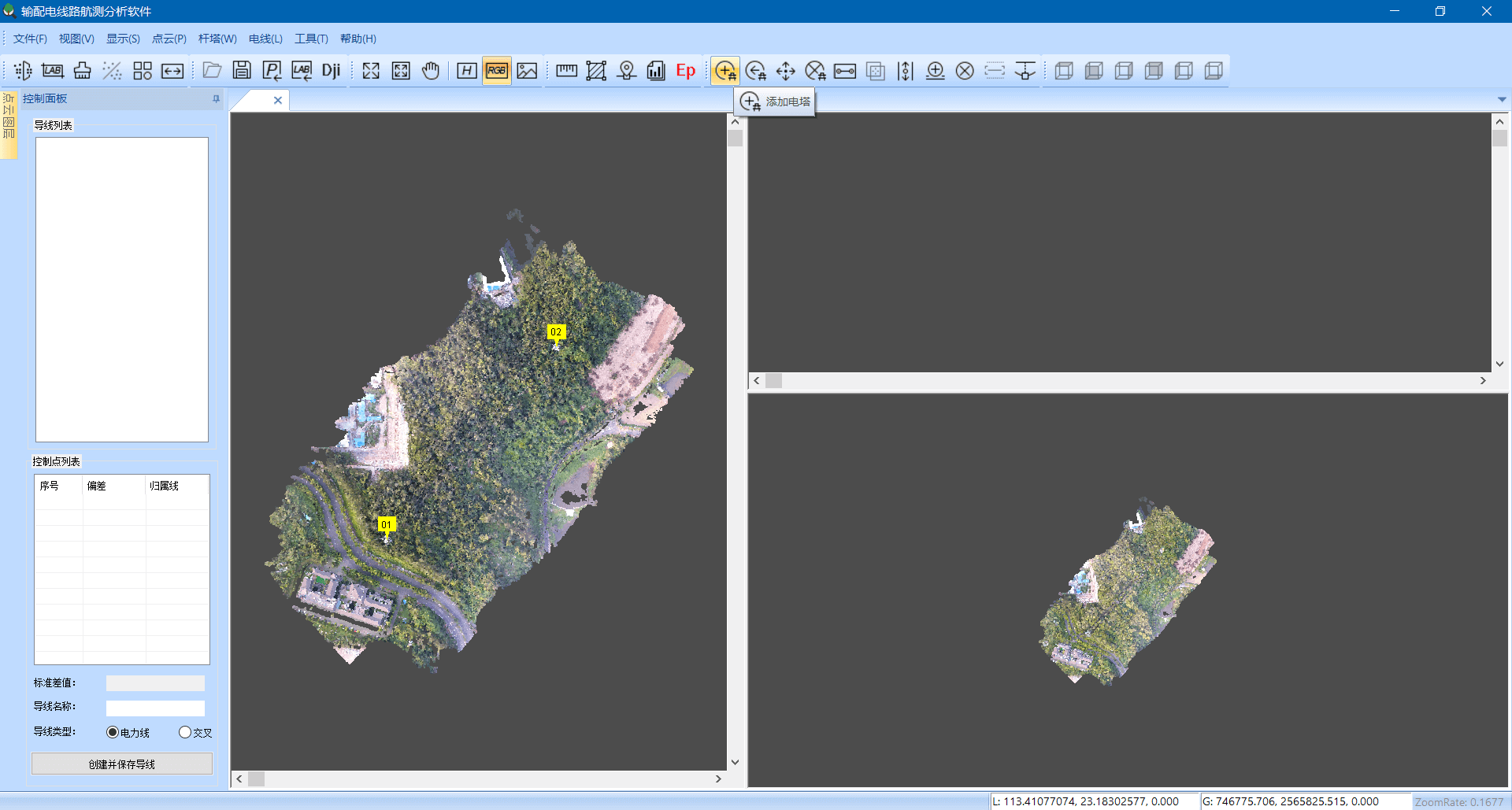
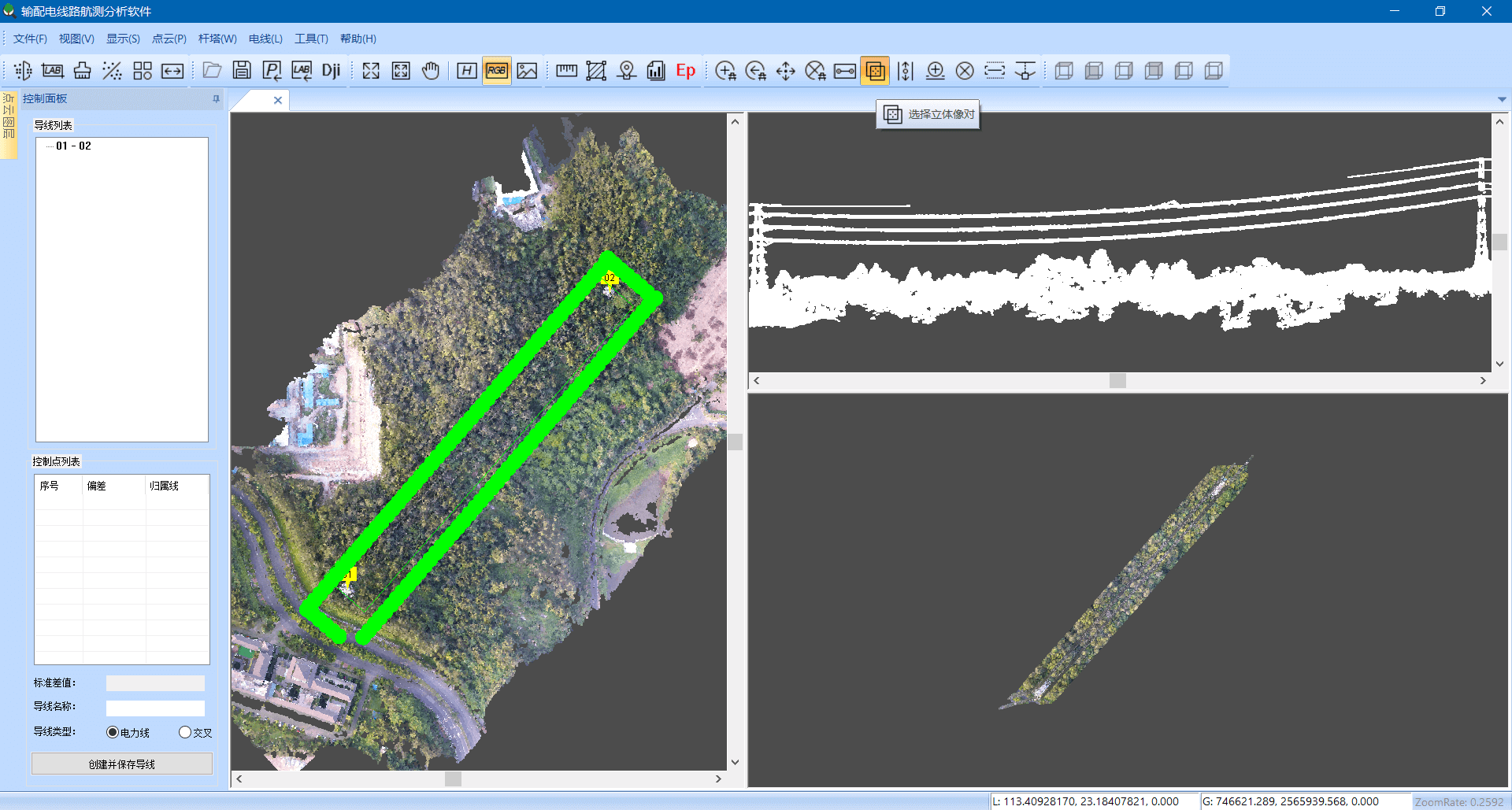
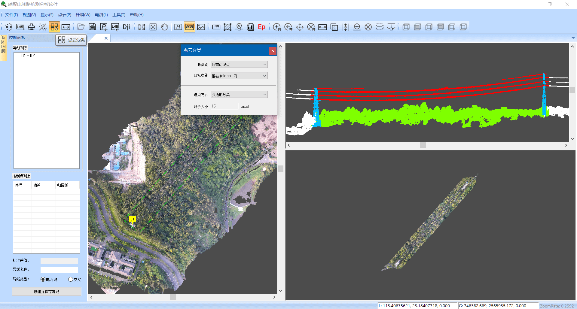
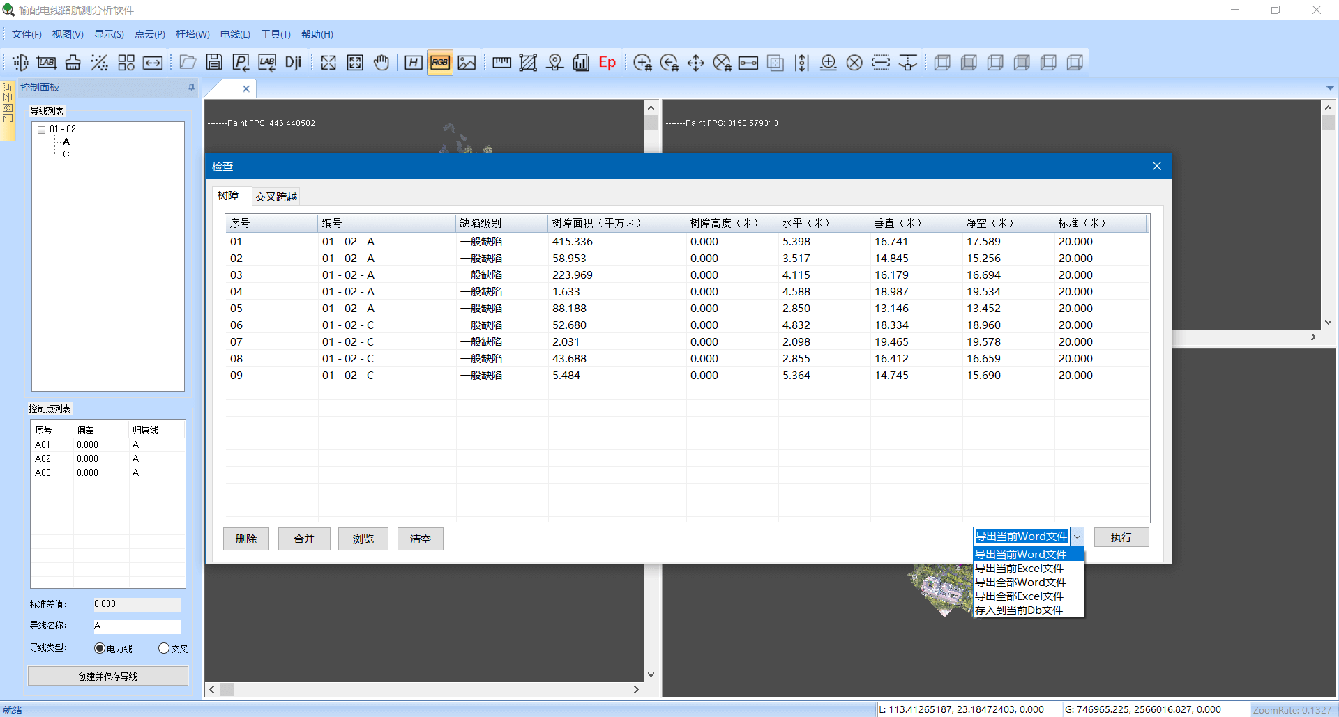


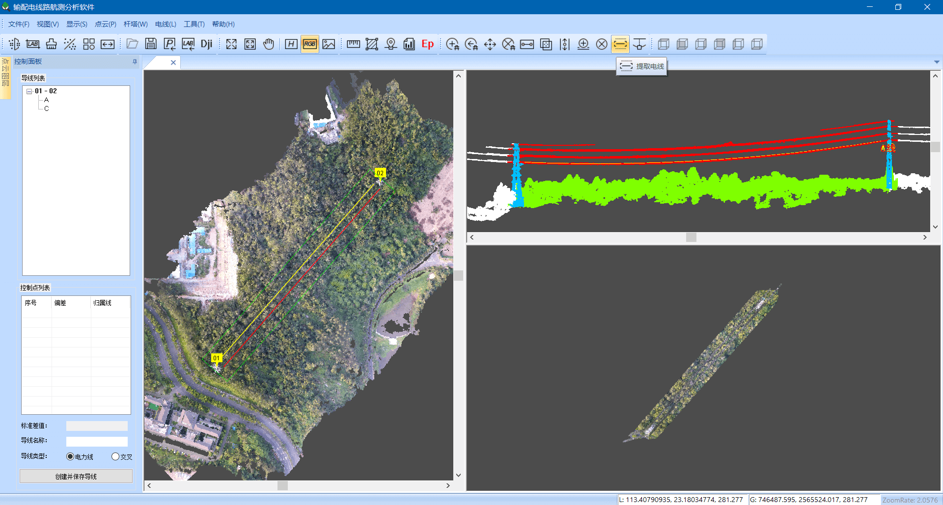


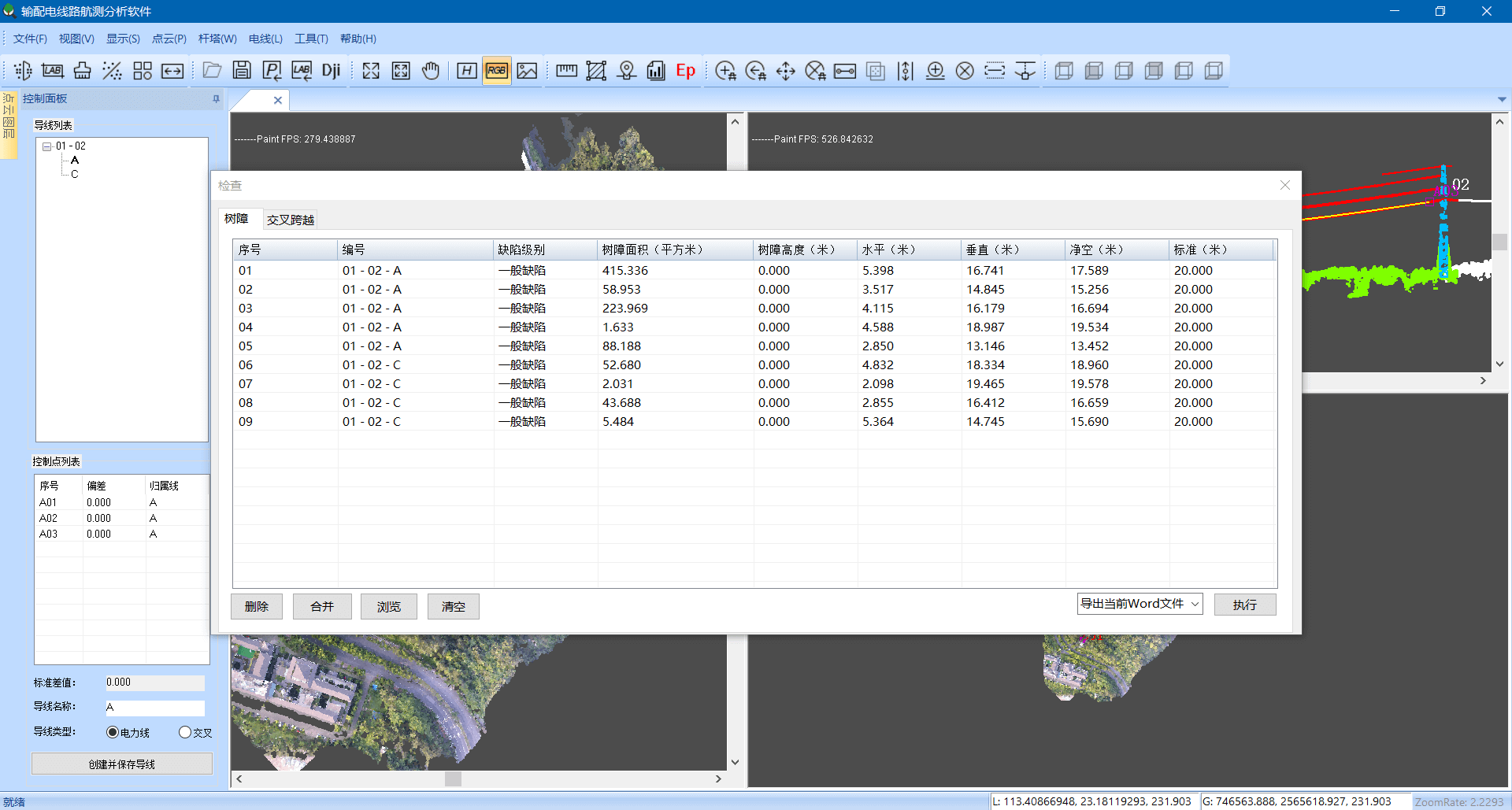

Being compatible with DJI Terra, our software optimizes the route model, leading the power grid inspection to a more convenient and intelligent stage.