"Two Networks & One Model" – Core Foundation of Low-Altitude Intelligence
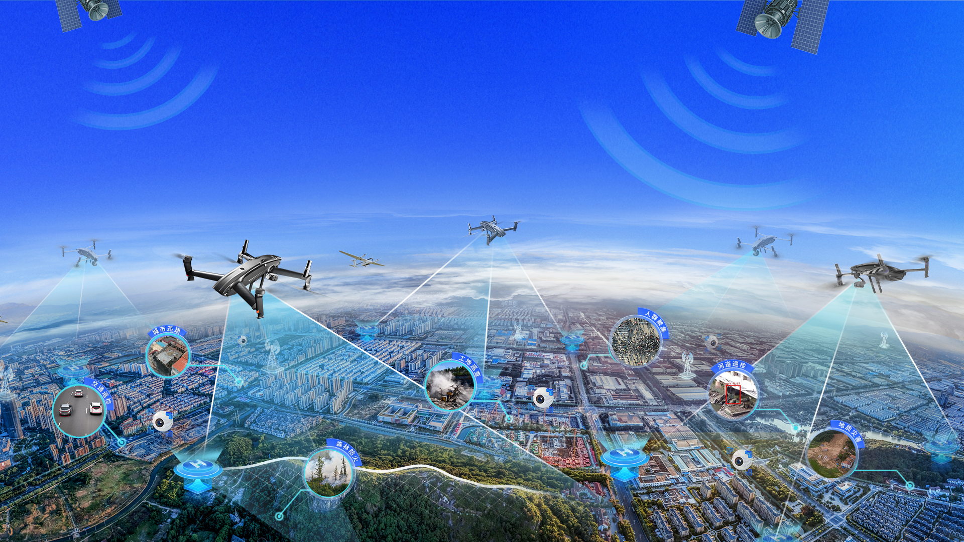
Integrating the Low-Altitude Remote Sensing Network (Full-Domain Monitoring), Low-Altitude Air Route Network (Ordered Scheduling) and Low-Altitude Large Model (Intelligent Decision-Making), it forms a complete capability closed loop from perception and scheduling to decision-making, systematically supporting the large-scale development of the low-altitude economy.
Low altitude remote sensing network
Distributed UAS base stations in monitored zones coordinate UAS swarms to deliver full-coverage, fully autonomous, high-frequency networked remote sensing. As the top-tier UAS remote sensing solution, it is a space-based IoT system.

Low altitude air route network
Acting as air traffic infrastructure for UAS, it designs scientific and efficient air corridors via airspace and route planning, underpinning orderly low-altitude flights.
Low altitude large model
This universal AI engine for UAS and low-altitude applications uses multi-modal recognition and autonomous decision-making to parse remote sensing imagery and detect anomalies in real time, enabling intelligent low-altitude operations and data analytics across industries.
Development History
From low altitude technology to low altitude economy, from low altitude applications to low altitude industries
Learn more
2017
The "the Pearl River Talent Plan" of Guangdong Province introduced innovative and entrepreneurial teams to layout low altitude economy;
Establish Guangzhou Zhongke Yuntu Intelligent Technology Co., Ltd. and lay out the low altitude geographic information industry;
2018
The National Key Research and Development Program project "High frequency Rapid Unmanned Aerial Vehicle Regional Networking Remote Sensing Observation Technology" has been launched;
The key deployment project of the Chinese Academy of Sciences "UAV low altitude public route planning and simulation verification system" was launched;
2019
The first low altitude remote sensing base station in China (G600) has been successfully developed and demonstrated for application on State Grid and Southern Power Grid;
The first unmanned aerial vehicle remote sensing network cloud platform in China (Zhongke Tianwang) has been successfully developed and approved for operation by the Civil Aviation Administration of China;
2020
The intelligent manufacturing center for low altitude remote sensing equipment has been built and put into operation in Foshan;
The first town level unmanned aerial vehicle remote sensing network project in China has landed in Danzao Town, Nanhai District;
2021
Completed Series A financing of tens of millions of yuan, ushering in the 2.0 era;
Recognized as Guangdong Unmanned Aerial Vehicle Remote Sensing Network Engineering Technology Research Center;
2022
The first district level unmanned aerial vehicle remote sensing network project in China has landed in Nanhai District, Foshan;
The first low altitude sky route planning and simulation system in China (Spring Silkworm System) has been successfully developed, and its core technology has been incorporated into the IEEE international standard for air routes;
2023
Awarded as a national level specialized, refined, and innovative "Little Giant" enterprise;
Light and small unmanned aerial vehicle remote sensing networking technology won the special prize of Geographic Information Technology Progress Award;
The first county-level low altitude sky road project in China has landed in Hukou County, Jiujiang;
2024
Awarded the national key "Little Giant" enterprise for specialization, refinement, novelty, and innovation;
National Key Research and Development Program "Observation Technology and Comprehensive Verification of Complex Environment Unmanned Aerial Vehicle Full time and Full domain Networking" project;
Successfully initiated and approved the IEEE International Standard for Unmanned Aerial Vehicle Remote Sensing Network;
2025
Establish Zhongke Yuntu Industrial Investment Company, relying on the first 500 million yuan low altitude infrastructure construction and the "Double Hundred District and County Plan" fund in China, to promote the investment and construction of low altitude infrastructure nationwide;
Establish the Central South Center of the Key Laboratory of Low altitude Geographic Information and Air Route of the Civil Aviation Administration of China;
Establish the Low altitude Economic Innovation Center of Guangdong Academy of Sciences;
Information Center
View more
media coverage
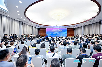
The 2026 County Low altitude Economic Development Forum has successfully concluded in Shenzhen, exploring new paths for empowering high-quality development of counties with low altitude economy
On June 5, 2026, the 2026 New Guangdong Low altitude Economy and Tailored Intelligence Project Promotion Conference with the theme of "Guangdong New Link, Intelligent Introduction to Low altitude" was grandly held in Guangzhou. This conference is hosted by the Guangzhou Office of the People's Government of Xinjiang Uygur Autonomous Region, with the Guangzhou Cooperation Office as the supporting unit ..
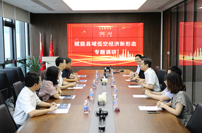
Chen Weimin, President of Guangdong Academy of Sciences, and his delegation visited Zhongke Cloud Atlas for research
On June 5, 2026, the 2026 New Guangdong Low altitude Economy and Tailored Intelligence Project Promotion Conference with the theme of "Guangdong New Link, Intelligent Introduction to Low altitude" was grandly held in Guangzhou. This conference is hosted by the Guangzhou Office of the People's Government of Xinjiang Uygur Autonomous Region, with the Guangzhou Cooperation Office as the supporting unit ..
'Drones+Smart Maritime' Empower Yangtze River Water Safety, Zhongke Yuntu Explores New Scenarios
On June 5, 2026, the 2026 New Guangdong Low altitude Economy and Tailored Intelligence Project Promotion Conference with the theme of "Guangdong New Link, Intelligent Introduction to Low altitude" was grandly held in Guangzhou. This conference is hosted by the Guangzhou Office of the People's Government of Xinjiang Uygur Autonomous Region, with the Guangzhou Cooperation Office as the supporting unit ..
View more