Yukong Platform
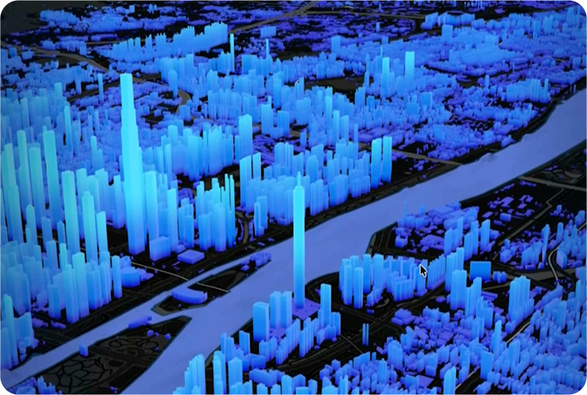
Low altitude digital base
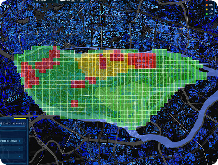
Low altitude airspace control
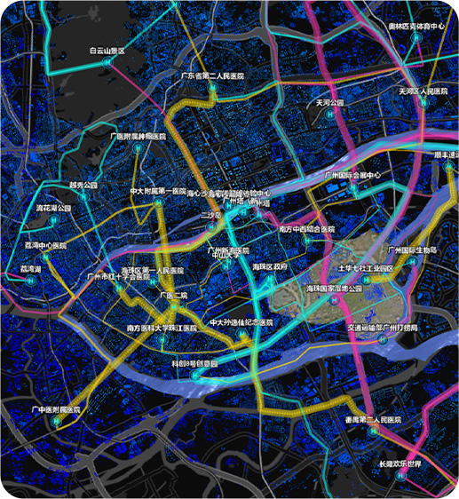
Intelligent route planning
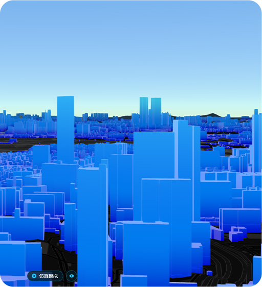
Route navigation and simulation verification
Low altitude flight service
Building airspace management 'one map'
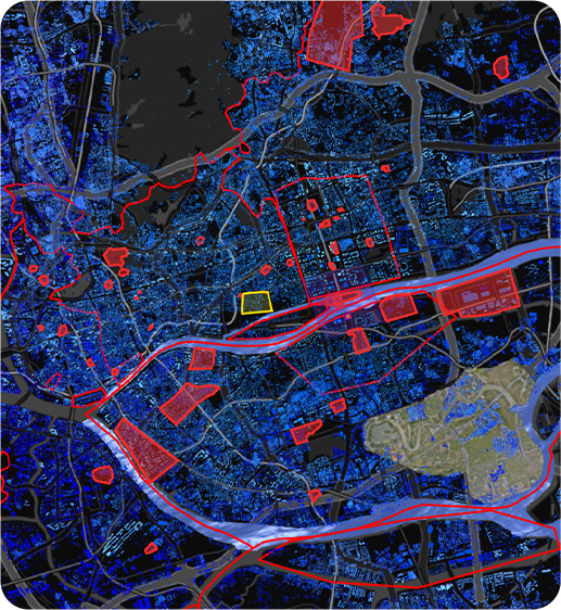
The platform is based on digital twin and real-life 3D technology to construct a "one map" of spatial resources, achieving precise digital mapping and dynamic updates of all physical spatial areas and elements, forming a core digital base. The base integrates high-precision geographic information, infrastructure, building models, flight control zones, water and road networks, and real-time weather data, and relies on the unmanned aerial vehicle remote sensing network base stations spread throughout the country through Zhongke Cloud Atlas to achieve dynamic integration of low altitude infrastructure such as takeoff and landing sites and communication base stations.
Accurately control low altitude microclimate environment
In response to the sensitivity of low altitude flight to micro weather, the platform integrates base station monitoring, intelligent weather stations, and public weather data to achieve minute level and hundred meter level accurate perception of key elements such as wind speed, wind direction, and visibility, forming a "one map" of low altitude weather.
Grid and route integration Dual track fusion
Grid based airspace control and refined management of air routes
By standardizing the three-dimensional grid division and unique digital identification of the airspace
a unified "spatial grid" and basic rules for airspace management are established to achieve digital filing
Intelligent navigation and one-stop flight management
Intelligent low altitude navigation
full process online management
Deep integration of real-time environment and route network; providing dynamic optimal path planning;supporting flexible selection of multiple strategies such as shortest distance safety priority or efficiency priority and combined with simulation rehearsals; Upgrade from being able to fly to being able to fly safely.
By connecting with authoritative systems such as the National Unmanned Aerial Vehicle Integrated Supervision Service Platform (UOM); the online and integrated processes of airspace declaration approval and supervision are greatly simplified and shortened. The platform has achieved unified authentication filing and real-time monitoring of pilots and aircraft
and through global perception and tracking of cooperative/non cooperative targets has improved the efficiency of airspace utilization and regulatory transparency ensuring the safe compliant and orderly conduct of flight activities.
Detecting countermeasures real-time protection
The base station is equipped with unmanned aerial vehicle detection and countermeasure equipment, which can perceive the airspace situation in real time and accurately identify cooperative and non cooperative unmanned aerial vehicle signals. Supporting various defense methods such as pure detection, deception countermeasures, and navigation signal suppression, the detection and early warning and inspection operations run in parallel, and the self operation is not interfered with, with real-time warning of airspace threats.