Program effectiveness Program effectiveness Business scenario Application Cases
Intelligent Transportation
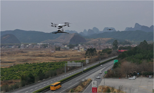
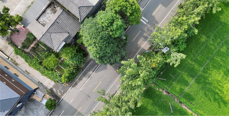
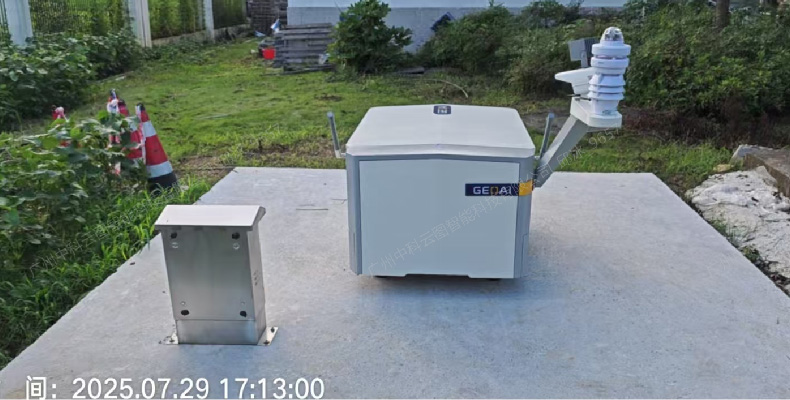
By using drones equipped with multiple sensors to accurately capture 2D and 3D models, high-definition images are obtained, and 24-hour uninterrupted inspections are carried out to meet the core needs of highway operation, maintenance, and emergency response. A drone intelligent control system integrating monitoring, scheduling, management, and service is constructed to enhance the intelligence, precision, automation, and digitization level of roads.
Comparison of effectiveness
Traditional governance model
Relying on road administration and driving to inspect each section with limited daily mileage the line of sight is severely obstructed by bridges bends and slopes
Handwritten photography+return reporting the process is lengthy with delays of several hours or even days from problem discovery to input
The management cannot grasp the on-site situation in real time and can only rely on telephone reporting which poses a high risk of information distortion
The problem was only discovered through telephone notification lacking process tracking and result verification with prominent issues of concealment and omission
A large number of personnel are required for road inspections which is labor-intensive inefficient and faces safety risks in highway operations
Drone governance mode
  • Based on the Zhongke Tianwang cloud platform integrated inspection of wind and solar power lines is achieved with one network covering multiple specialties and scenarios
  • AI automatically identifies hidden dangers and reports them to the center while pushing mini programs to achieve information flow in seconds
  • Synchronized display of images and trajectories on the central large screen remote control+real-time images+voice scheduling three terminal integration
  • The control center automatically generates work orders and issues them through a mini program. After on-site disposal photos are taken and uploaded and the drone is used for remote review.
  • One person in the control center schedules multiple machines while drones independently complete repetitive tasks.
Comparison of effectiveness
Single machine inspection efficiency is improved by 5-8 times with high-frequency coverage throughout the entire road section completely eliminating traditional blind spots
The problem discovery report is compressed to within 30 seconds and the missed report rate is significantly reduced achieving "discover and report immediately"
You can remotely "see and manage" without the need to be present breaking the limitations of time and space and conducting inspections at night in different locations
Shorten the closed-loop cycle of problem handling by more than 80% trace and trace the entire process and effectively prevent concealment and omission
The burden on frontline patrol personnel has been reduced by more than 65% and personnel have shifted from "running on the road" to "screen management"
Business Scenario
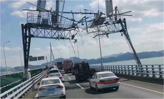
Monitoring of road diseases and foreign objects on the road surface
Based on the actual high-speed environment, construct flight routes with different hidden dangers, and intelligently analyze road hazards
Monitoring the status of protection and energy facilities along the line
Utilize high-definition cameras and thermal imaging lenses to ensure the normal operation of various facilities
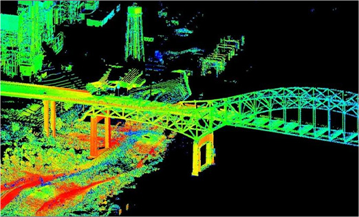
Automated monitoring of bridge structure health
High precision unmanned aerial vehicle flight operation route, realizing close range dynamic inspection of various structures of the bridge body
Ecological environment and safety hazard investigation
Define monitoring areas based on geographic information and automatically analyze safety hazards of vehicles, personnel, etc
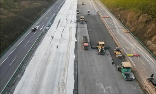
Full cycle inspection of engineering construction
Using intelligent recognition algorithms to dynamically inspect construction sites and monitor operations
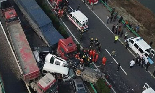
Rapid response to emergency events
Through rapid modeling, high-precision orthorectified images of the scene can be dynamically reconstructed to assist in commanding rescue operations;
Application Cases
Chengdu Xinjin Traffic Stereoscopic Inspection Network
Xinjin pilot unmanned aerial vehicle intelligent inspection covers multiple scenarios of road, bridge, and construction sites, achieving integrated inspection, supervision, rectification, and scheduling, empowering traffic management with technology, and creating a smart travel environment.
Construction of Wenzhou Expressway Low altitude Unmanned Aerial Vehicle Remote Sensing Network
Establish a low altitude unmanned aerial vehicle remote sensing network dynamic monitoring system for multiple sections of Wenzhou Expressway, providing high-frequency, fast, and regular business application support for maintenance management, road hazards, bridge health, etc.
Construction of Tianjin High Speed Low altitude Unmanned Aerial Vehicle Remote Sensing Network
Targeting 18 core highways in Tianjin, covering 854.69 kilometers, unmanned aerial vehicles equipped with multiple sensors are used to achieve 24-hour uninterrupted automated inspections, intelligent emergency response, and weave a "network" of low altitude intelligent control for Tianjin highways.
Construction of low altitude remote sensing network for Fokai high-speed unmanned aerial vehicles
For the 79.864 kilometer section of the Fokai Expressway, unmanned aerial vehicles are used for regular inspections to assist in traffic flow analysis, traffic emergency response, accident investigation, traffic guidance, etc., providing data support for urban traffic management.